Browse By
|
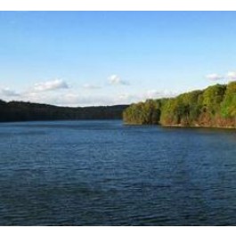
Loch Raven ReservoirDescriptionThe Loch Raven Reservoir watershed begins at the dam on the Prettyboy Reservoir. The Gunpowder Falls then flows across the rural lands of north central Baltimore County. Almost all of the Loch Raven Reservoir watershed is located outside the County’s urban rural demarcation line (URDL). The URDL separates areas in the county that receive public water and sewer infrastructure, with those that rely on private well and septic systems. Areas inside the URDL can accommodate development, including employment, retail, and residences while the areas outside are reserved for agricultural, natural resource protection and low density rural residential development. A substantial agricultural community continues to farm on these lands. The County has worked with these landowners to preserve thousands of acres of land with protective easements.Tags: hiking, hikes, trails, water, rafting, tubing, cycle, cycling, biking, bikes, bicycle, walking. Detailed Information
|


